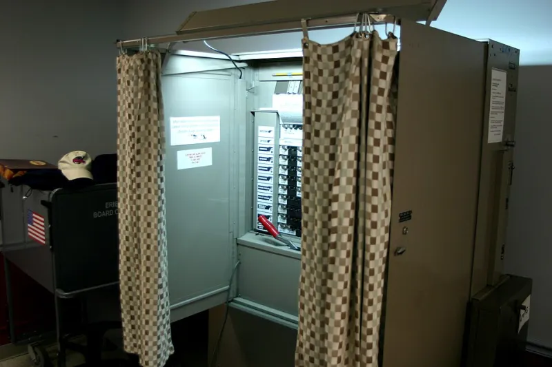
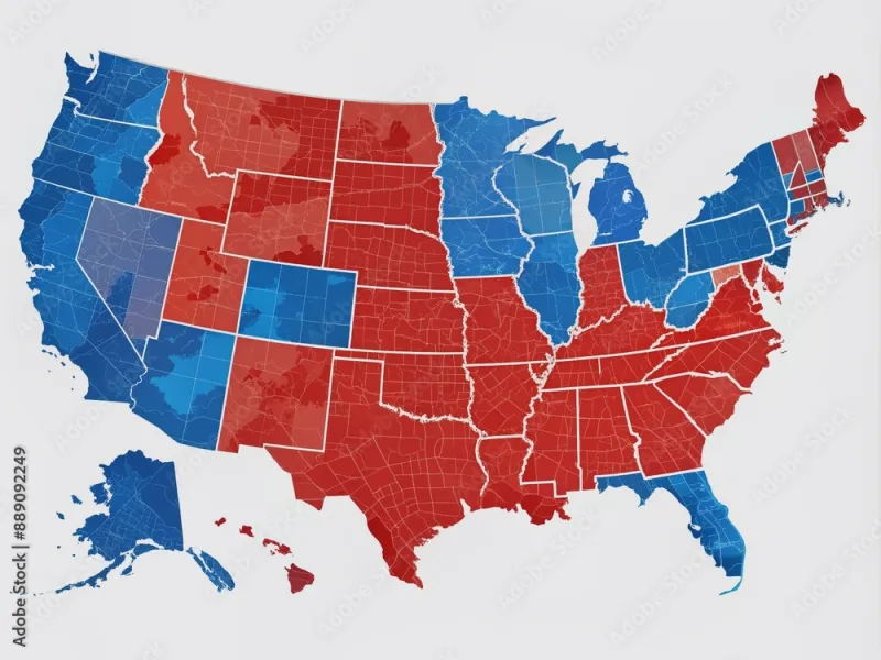
Drawn to Win: The Data-Driven Science of Rigging the Map Before a Single Vote Is Cast
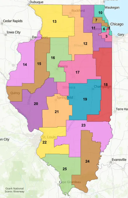
Photo: JC LaPete, CC0, via Wikimedia Commons
Long before a single campaign ad airs or a single ballot is printed, the outcome of hundreds of legislative races across the United States may already be determined. Not by polling, not by fundraising, and not by the quality of the candidates—but by the shape of a line on a map.
Redistricting, the once-per-decade process of redrawing congressional and state legislative boundaries following the Census, has always carried political weight. But in the post-2010 era of high-resolution voter data and advanced geographic modeling software, the craft has evolved into something far more precise—and far more consequential—than most Americans realize.
The Back Room Where Democracy Gets Designed
In most states, the redistricting process is controlled by the state legislature. That means whichever party holds power when Census data arrives gets to draw the maps. The implications of this arrangement are difficult to overstate.
In 2021, following the 2020 Census, Republican-controlled legislatures in states like Ohio, North Carolina, and Georgia drafted congressional maps that independent analysts described as aggressive partisan gerrymanders. Democratic-controlled states, including Maryland and Illinois, pursued their own versions of the same strategy. In both cases, the process unfolded largely behind closed doors, with finished maps often presented to the public days—or even hours—before legislative votes.
"The hearings are theater," said one veteran state legislative staffer who worked on redistricting in a Southern state and requested anonymity to speak candidly. "The real decisions get made in a room with maybe four people, a laptop, and a very good dataset."
That dataset typically includes voter registration records, historical election results broken down to the precinct level, demographic information from the Census, and in some cases, commercially purchased consumer data that can help mapmakers infer political leanings with remarkable granularity.
From Pencil Sketches to Algorithmic Precision
The term "gerrymandering" dates to 1812, when Massachusetts Governor Elbridge Gerry approved a state senate district so contorted it resembled a salamander. For most of the two centuries that followed, the process of drawing manipulative maps was constrained by the sheer logistical difficulty of the task. Mapmakers worked with paper, pencil, and imperfect data.
That constraint no longer exists.
Software platforms like Maptitude for Redistricting and Dave's Redistricting App now allow users to model thousands of district configurations within minutes, instantly calculating projected partisan outcomes for each scenario. Political operatives can identify which neighborhoods to include or exclude from a district in order to achieve a desired margin of victory—not just in the next election, but across multiple election cycles.
"What you're seeing now is the optimization of political geography," explained Michael Li, senior counsel at the Brennan Center for Justice, in a widely cited analysis of post-2020 redistricting. "The maps aren't just drawn to win elections. They're drawn to be durable—to withstand demographic shifts and wave elections."
This durability is the feature, not the bug. A well-constructed gerrymander doesn't just deliver victories; it insulates a party from accountability even when public opinion turns against it.
The Efficiency Gap and the Limits of Legal Remedies
Academics and voting rights attorneys have developed a range of metrics to quantify partisan bias in district maps. The most prominent, the "efficiency gap," measures the disparity in "wasted votes" between two parties—votes cast either for a losing candidate or in excess of what was needed to win. A large efficiency gap suggests one party's voters are being systematically packed into a small number of safe districts or cracked across multiple districts where they constitute a reliable minority.
The problem is that the Supreme Court, in its 2019 Rucho v. Common Cause decision, ruled that federal courts cannot intervene in cases of partisan gerrymandering. Writing for the majority, Chief Justice John Roberts acknowledged that such gerrymandering is "incompatible with democratic principles" while simultaneously concluding that it presents a "political question" beyond the reach of federal judicial remedy.
The decision effectively handed the problem back to the states and to Congress, neither of which has shown consistent appetite for resolving it.
States Trying to Break the Cycle
Not every state has surrendered redistricting to partisan actors. A growing number have experimented with independent or bipartisan redistricting commissions, with notably mixed results.
California's Citizens Redistricting Commission, established by voter initiative in 2008, is frequently cited as a relative success. The commission comprises fourteen members—five Democrats, five Republicans, and four who are neither—selected through a multi-stage screening process designed to exclude political insiders. Its maps have faced criticism from both parties, which many reformers interpret as evidence that the commission is doing something right.
Arizona, Colorado, and Michigan have adopted similar models. In Michigan, voters approved an independent commission in 2018 after years of maps that had allowed Republicans to win legislative supermajorities despite receiving fewer total votes statewide in some cycles.
"People were genuinely shocked when they found out their legislators were choosing their voters instead of the other way around," said Nancy Wang, executive director of Voters Not Politicians, the Michigan citizen group that spearheaded the commission effort. "Once you explain how it works, the outrage is bipartisan."
Yet even commissions face structural vulnerabilities. In Ohio, a bipartisan commission established by constitutional amendment drew maps that the state Supreme Court repeatedly struck down as unconstitutional partisan gerrymanders—only for the maps to be used anyway after legal delays pushed the state past its own deadlines.
The Voter's Invisible Cage
For ordinary Americans, the practical consequences of gerrymandering are felt most acutely in the absence of competition. Safe districts—those drawn to be reliably won by one party—produce representatives who face their most consequential electoral challenge not in November, but in a low-turnout primary dominated by the party's most ideologically committed voters.
The incentive structure this creates is straightforward and corrosive. Legislators in safe seats have little electoral reason to compromise, engage with constituents from the opposing party, or pursue broadly popular but politically inconvenient policy positions. The map, in effect, shapes the behavior of every elected official who serves within it.
"When a member knows they cannot lose a general election, their entire political calculus changes," observed one former congressional chief of staff. "The district isn't just a boundary on a map. It's the environment that determines how someone governs."
What Reform Actually Requires
Meaningful redistricting reform faces a fundamental collective action problem: the party currently in power has every incentive to resist it, and the party out of power lacks the authority to implement it. Federal legislation—most notably the For the People Act, which would have mandated independent redistricting commissions nationwide—has stalled repeatedly in the Senate.
In the absence of federal action, advocates are pursuing reform through ballot initiatives, state constitutional amendments, and litigation under state—rather than federal—equal protection provisions. It is slow, jurisdiction-by-jurisdiction work with uneven results.
What is clear is that the sophistication of the tools available to partisan mapmakers is advancing faster than the pace of reform. Each redistricting cycle produces maps that are harder to challenge and longer-lasting in their effects. The voters who feel their choices are predetermined are not simply cynical. In a growing number of districts, they are correct.
The map was drawn. The outcome was modeled. The election, in many cases, was settled before it began.